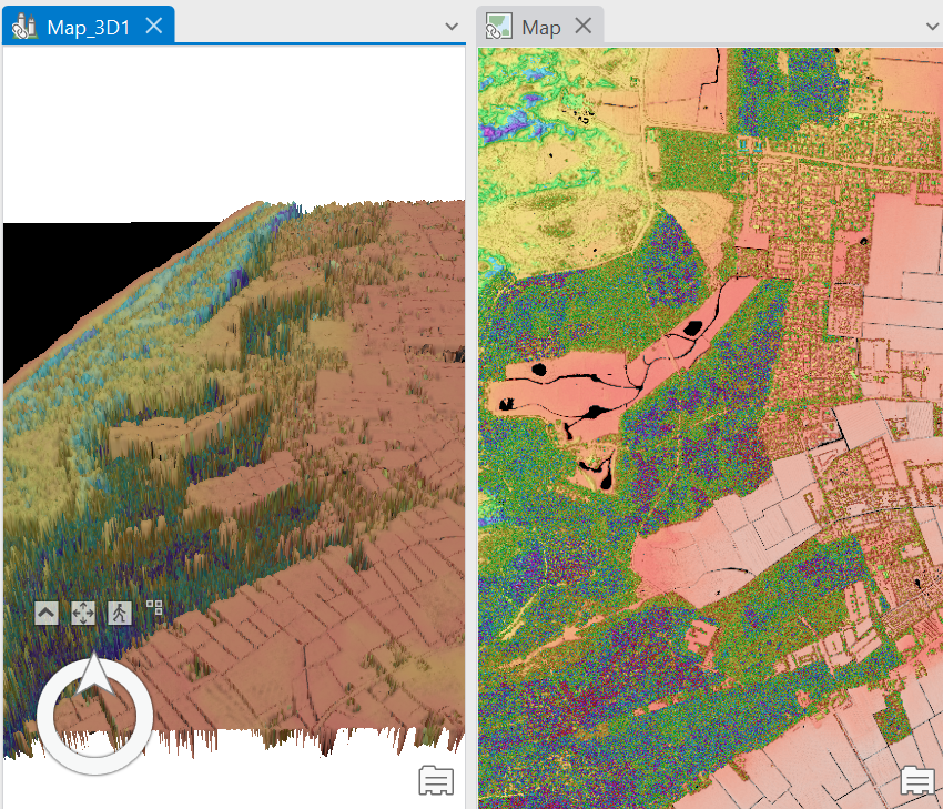
A 3D view map of Texel Island, The Netherlands, in 2023
Remote Sensing Technologies are increasingly being used to capture spatial data. One such technology is LiDAR (Light Detection and Ranging) that uses laser beams to capture high-resolution movements and measure accurate distances in real time. The resulting spatial data can be used to generate everything from detailed topographic maps to 3D model like city scenes. City scene maps like this create context and display features from all angles, and are often employed by game developers or in urban planning. This is because they provide a more realistic context than flat maps.
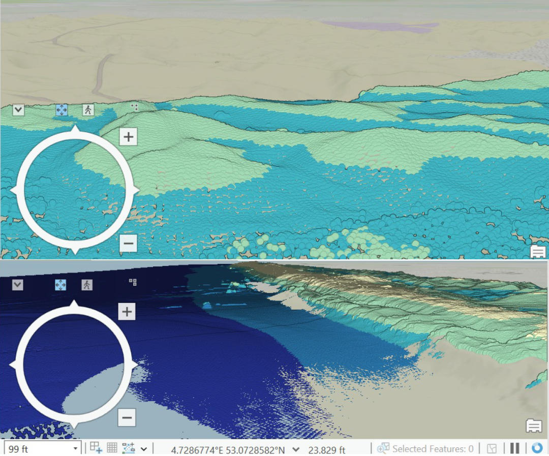
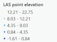
The above pictured map, generated from LiDAR data, is a 3D scene map of the west of Texel island in Northern Holland, across the Wadden Sea in 2023. It showcases the elevation differences between different features in the island, namely open water, dunes, among others. It reveals higher elevation by the coast, towards the dunes, and lower elevation in the open water. In this map, measurements of the height of features such as sand dunes can be made on ArcGIS Pro
LiDAR data of the island of Texel was sourced from GeoTiles, and processed using ArcGIS Pro. Data included a digital terrain model (DTM), digital surface model (DSM), and Laser Data. On ArcGIS Pro, the 2D basemap layers were converted to create a 3D Scene View. A suitable classification attribute for the map was chosen-elevation in this map. Further, to accentuate relative elevations between the features classifications, an underlying hillshade layer was created under the DSM layer.